Nantucket Harbor
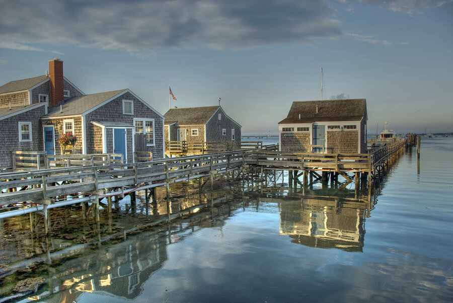
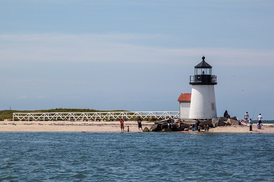
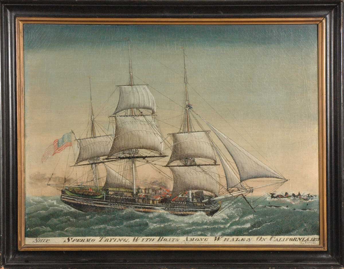
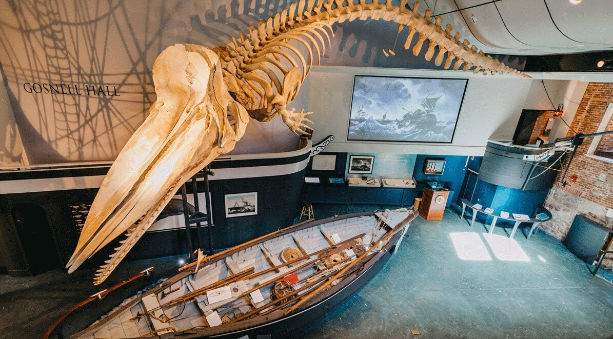
The Massachusetts island used to be a whale hunting site dating back to the early 1800s. Fishermen and hunters go out to sea around the island for whale oil and other resources to sell. With the rise of technology and other better substitutes for whale oil, whale hunting started to decline. Historical artifacts, documentaries, and recordings throughout the centuries have been kept in pristine condition and kept at the Whaling Museum.
Problem
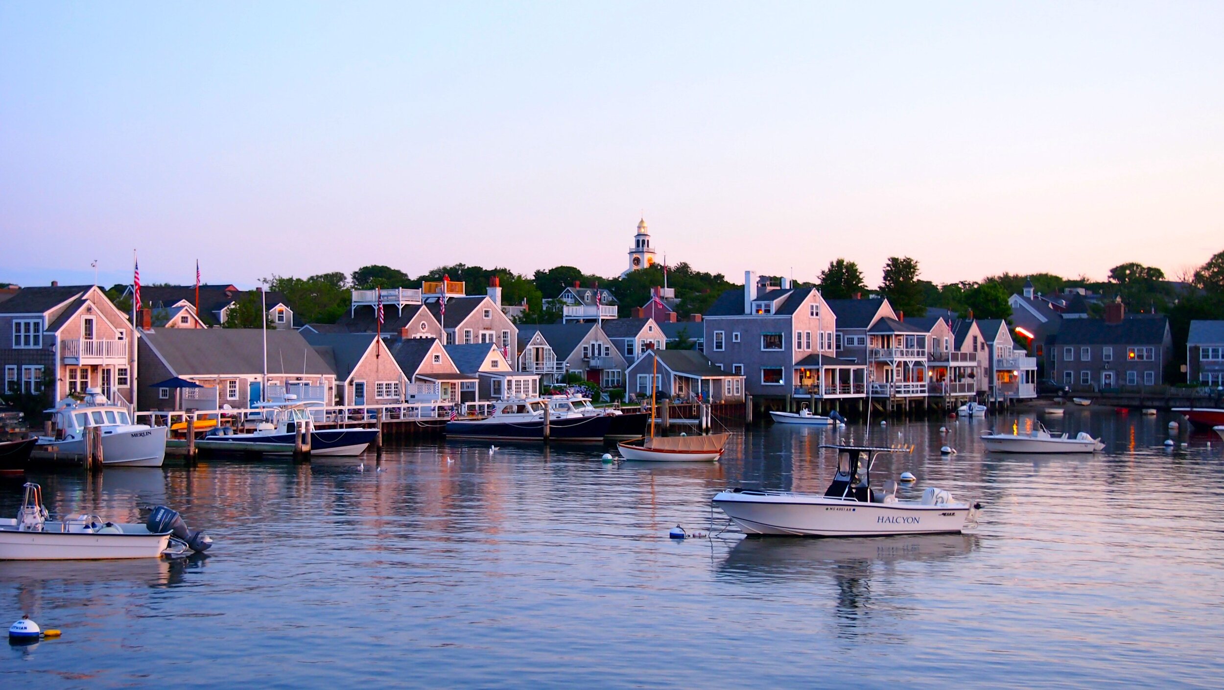
With tourists coming back to the island, how can the museum create a visualization of Nantucket Harbor, enabling an audience to experience how it would have appeared in the early 1900s?
Solution
With the help of a research team, design thinking research methodology will be used to create a visualization and interactive experience to share with the public.
From Nantucket Harbor Associates website
An abundance of historical photographs and landmarks were used as references to map out where each building used to be. We kept in mind of the important buildings that were close to the museum.
Map provided by team member, Lindsay O’Connell
Map provided by team member, Lindsay O’Connell
Building locations marked by Giancarlos Miranda
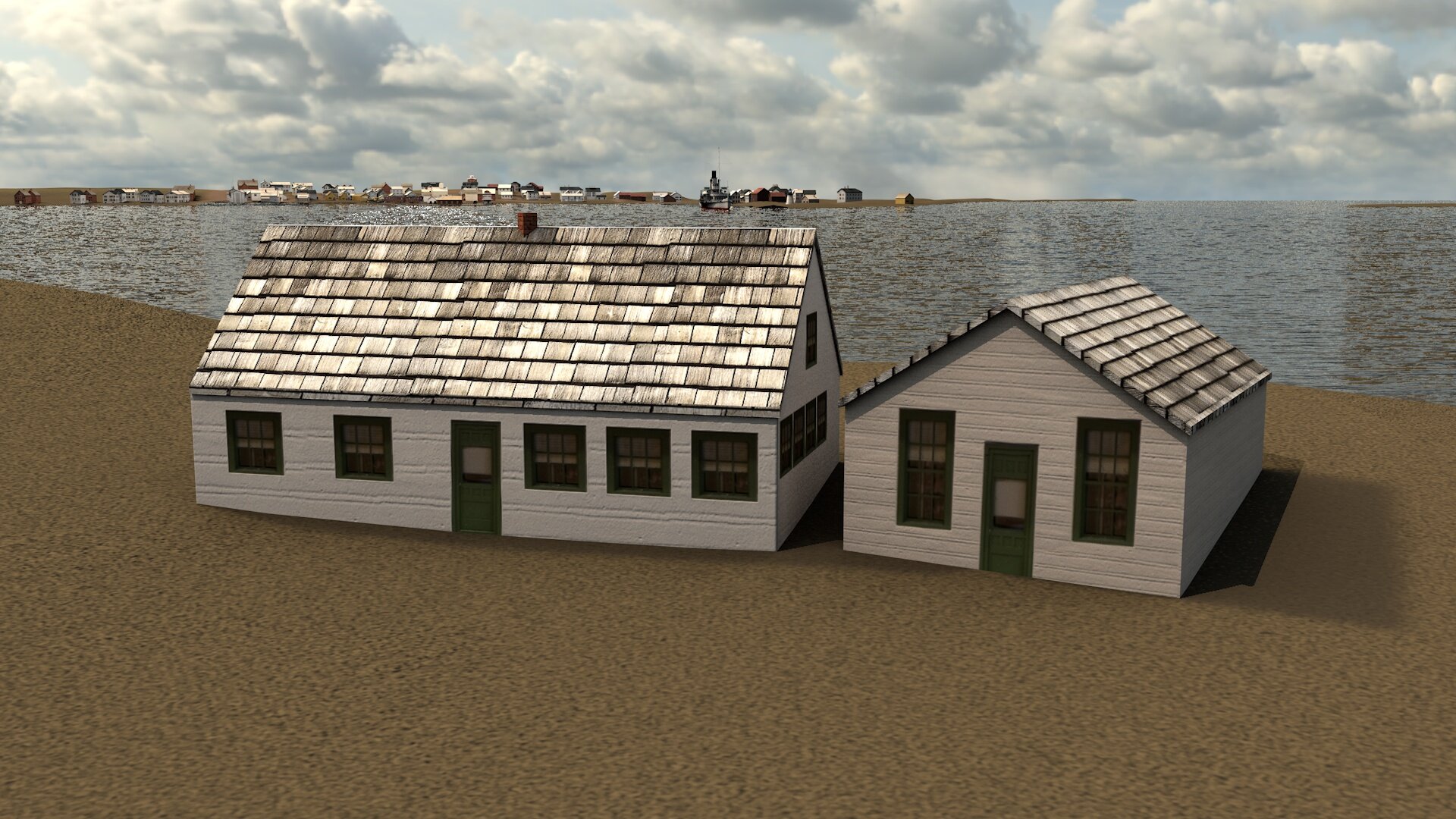
With each building labeled accordingly on the map, we were able to start creating different assets to start building the 3D environment.
Through our process, we were given unique textures from the museum itself. They were similar to the material that was used for the buildings during the time. As a team, we also conducted our research on textures similar to the ones given to us to apply them to the 3D models.
During the process of texturing the buildings, the landmass was simultaneously being generated. With the map provided, roads were painted across the land as well as creating more land for the railroad to sit on. We were also able to manipulate the height and width of the ground for accuracy. To show the time of day, a skybox was created to simulate an afternoon atmosphere.
Landmass generated by team member, William Wallace
Landmass and skybox manipulation by Giancarlos Miranda
With the assets created they were all put into the landmass once it was finally similar to what it would've looked like in the early 1900s.
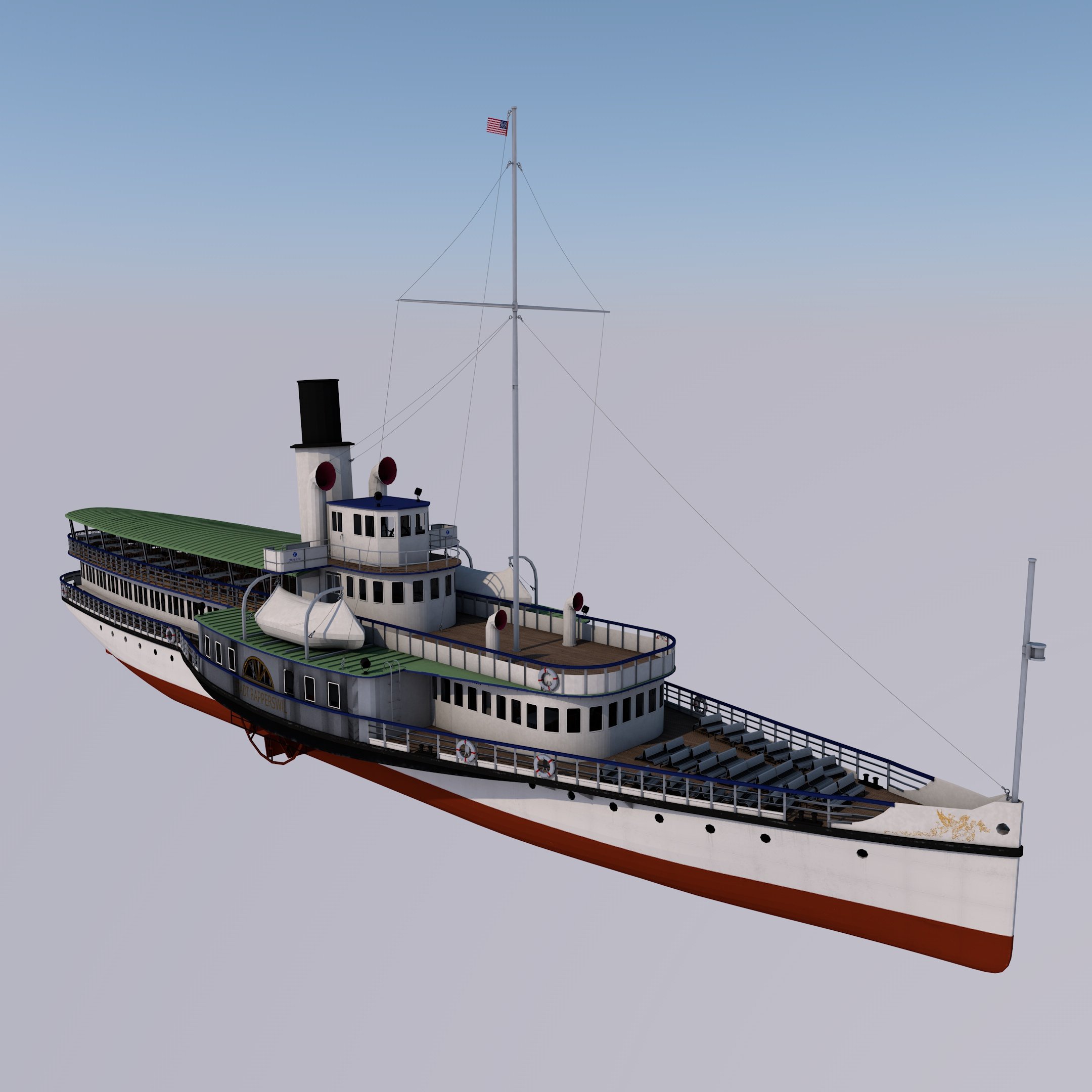
To continue creating a realistic environment, we needed other models in the scene. Kean faculty Professor Ed Johnston provided these assets from Turbosquid.com.
Horse Taxi/Carriage
Locomotive
Passenger Cars
19th Century Models
Steamship
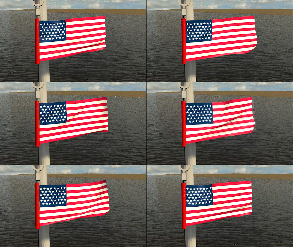
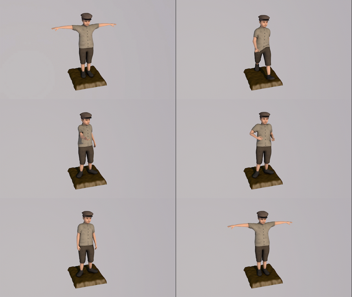
With these assets in place, the next step was creating unique animations to liven up the scene.
Water Animation
Flag Animation
Figure Animation
Desired Steamship Smoke
Locomotive Smoke Animation
The link below is an alternate version of the final project. It showcases all the assets used in the scene and how it's portrayed in 360º view. Currently, it’s only a still image. A full, animated scene will update the link once it's fully rendered.


